

I first heard of pocket parks when Birgitte was giving a presentation about water sensitive urban design, and citizen participation. She mentioned Pocket Parks in Portland (I cannot hear Portland without saying to myself “Keep Portland weird!“)
Continue reading “Pocket Parks”Curious Game idea
This is bringing together the metaverse data-interoperability idea, with the group level ethic of care – the AquaCurious stuff. Very early thoughts.
Continue reading “Curious Game idea”AquaSavvy: Street flow Sankey
Continuing from the layer perspective and the house level view, here I played with the street level view. Inspiration:
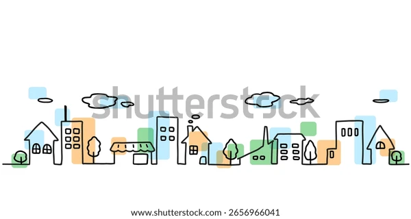
My brief: For the street level, let’s explore taking a OpenStreetMap view of a street, and then converting it from the top down map view, to the idealised, hand drawn version with inputs and outputs.
Continue reading “AquaSavvy: Street flow Sankey”AquaSavvy: House flow Sankey
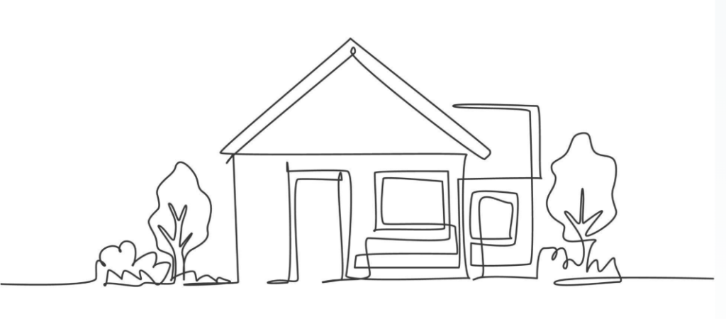
Carrying on from the Layered visualisation, I started playing with what a house level, or street level visualisation could look like. Some inspiration off the web:
Layered visualisation of resource flows
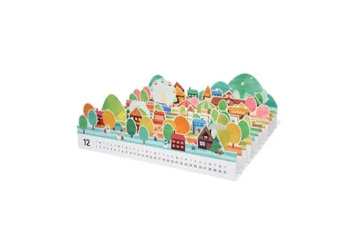
Inspired by Fil’s Layers Perspective, as well as this papercraft calendar. The idea is to be able to isolate some elements, and then see how they relate.
Cape Town sewage flows
As part of thinking through the AquaSavvy tool visualisations, I revisited an idea from a loooong time ago (2018) that was part of the inspiration for AquaSavvy.
As an exercise, I’m not sure how this would make it into the AquaSavvy tool as is. I had to do a lot of wrangling with Claude, that I don’t think a layperson could or would want to do. It’s fine for the project to do this for our selected sites, but as a global tool meeting people where they are, I don’t know.
Continue reading “Cape Town sewage flows”AquaSavvy tool ideas: Emotion map
Note: This is part of the active AquaSavvy project. We’re prototyping ideas for rending the data into the visualisation tool.
The conversation started with “How can we visualise our emotions and responses to water?”
Continue reading “AquaSavvy tool ideas: Emotion map”AquaCurious
I’m applying to the MSCA fellowship again, sucker for punishment. My current draftsummary as of 10 august is:
| AquaCurious: Cultivating Curiosity-Driven, Gameful Coalition Culture for Sustained Civic-Led Water Partnerships. I ask what capacities let civic and intermediary actors contribute to, rather than draw down, the care that sustains coalition-based water governance, and then work to design gameful approaches to nurture these capacities. AquaCurious bridges three fields: polycentric governance, gameful design, and feminist ethics of care, treating care-laden coordination labour as a design principle rather than a diversity problem to legitimise afterward. The design of a pocket park in Tampere serves as vehicle, anchoring the development of a design framework through iterative, workshop-tested engagement, using deep canvassing and behavioural coding of curiosity and cognitive labour. Gameful approaches that inspire the design include parkrun, already studied elsewhere as a coalition-governance actor and World of Warcraft guilds as holding structure. Outputs include a practitioner toolkit, ritual-template infrastructure recommendations, and a specific policy recommendation aimed at municipalities to pre-institutionalize mechanisms for intermediary and civic-actor participation. This proposal is aimed at converting my demonstrated but institutionally unrecognised leadership into sustainable, fundable independent practice. |
Build your own floating island
More playing with Claude. The idea is to create a “home” to play and build on, ala sim game (ideally, Godus like) that is based on topography of the physical world.
The pipeline now goes: draw a box over your chosen area – the starting point at the moment is São Miguel island, Azores → fetch real elevation → click a contour ring to set the coastline (doesn’t have to be the actual coastline… rediscover Atlantis 🙂 ) → carve.
An important point is the idea is to be inspired by physical reality, not tied to it. Part of this is the “sculpted, not surveyed” nature of the renders, so it sometimes has artefacts. That’s intentional.
It’s still very buggy, of course, but check it out!
Continue reading “Build your own floating island”Testing Claude code
The idea is to have stuff happen in the three.js scene – like rain falling when you click the cloud, and then that updating in the Sankey diagram below that (see the mm increasing). It’s not much yet and meaningless at this point, Sao Miguel is also “sculpted not surveyed” which is an interesting approach I may explore more intentionally, but it’s not bad for about 2 hours of playing over the weekend. Damn, AI is scary.
São Miguel, Azores — stylized elevation, not survey data
Click the cloud to make it rain · Drag to look around · Scroll to zoom
Lagoa do Fogo 50%
/
50%
Furnas
No rainfall recorded yet — click the cloud on the São Miguel island scene to make it rain.