

More playing with Claude. The idea is to create a “home” to play and build on, ala sim game (ideally, Godus like) that is based on topography of the physical world.
The pipeline now goes: draw a box over your chosen area – the starting point at the moment is São Miguel island, Azores → fetch real elevation → click a contour ring to set the coastline (doesn’t have to be the actual coastline… rediscover Atlantis 🙂 ) → carve.
An important point is the idea is to be inspired by physical reality, not tied to it. Part of this is the “sculpted, not surveyed” nature of the renders, so it sometimes has artefacts. That’s intentional.
It’s still very buggy, of course, but check it out!
Carve Your Home
Draw a box over São Miguel, pick a contour ring as the coastline, then carve it into a floating mass — yours to keep.
Pick coastline
Carve
Export
How it works:
Atlas (top-left, small) — a shared, low-stakes OpenTopoMap view. Its only job is browsing (and ultimately showing pins of other islands people have created, in the game idea context). Navigate to your chosen area and scale it to your liking.
Claim — Draw the selection box over any area you want — bigger boxes carve at lower resolution, smaller ones finer, since the grid stays fixed size. (For the game idea, to distinguish from e.g. Decentraland: Claims aren’t exclusive: 500 people can each have their own Paris.) Too big areas break the thing, and currently the selection box blanks out the map which is annoying, but it still works.
Fetch elevation – this brings the contour lines in, and then you can choose which layer you want as your baseline, or, coastline. When you click you can choose what height exaggeration – how mountainy – you want your island to be. The light angle thing is not relevant, forget it. Then, when you’re ready, carve your island!
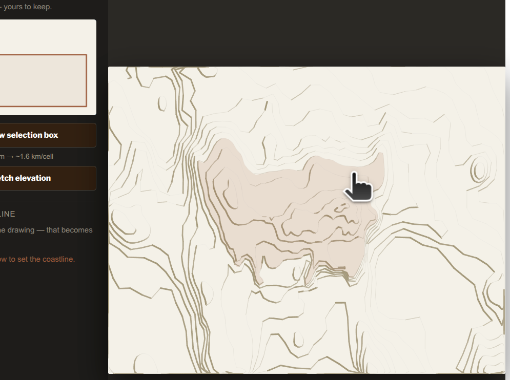
Carve floating island — this is the decoupling moment. For the game thinking, Claude says: Once saved, the elevation grid, boundary ring, palette, light angle, and band count are all frozen into one storage record (home-data:<id>) that has nothing to do with the map anymore. Only a tiny metadata record (homes-index) — id, name, lat/lng — feeds the atlas marker. That’s the only tether back to the shared world, exactly like your game-instance framing. In other words, the (accurate, physical world) map is the lobby, not the game itself. Your island doesn’t mess with OSM data, you don’t change the physical world maps through this game idea.
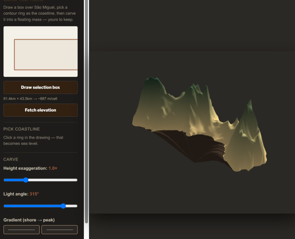
This is what mine looks like, using Sao Miguel for example:
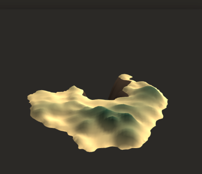
and here’s Oroe, such a pity Denmark is so flat, lol (you can exaggerate the height and make it impressive, of course)
The idea is to then have this become your home base to play with and sculpt and manipulate the weather and whatever, see e.g. this other playing work-in-progress: https://indiebio.co.za/testing-claude-code/
For now, the code allows you to download it as a glb file or an obj, which I don’t know if that’s the best and I need to check with the glTF OMI crowd etc, but this is a prototyping start to be able to tell a proper dev what I need, and it’s easier to show than to try and describe it.